OKANOGAN HIGHLANDSFIREWATCH
· 2m ago
Back to Live Map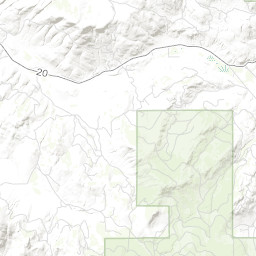
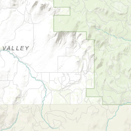

Prescribed BurnACTIVEInc# 1006· okanogan Co.
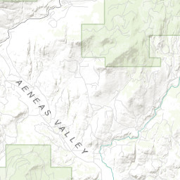
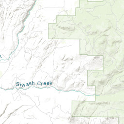
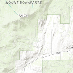
TON RX - UPPER AENEAS
Northeast Washington (Colville) · 2mo ago
Acres
392
Fuels
—
Location
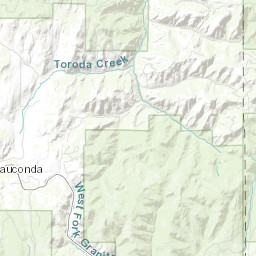
OKANOGAN COUNTY - BANNON MOUNTAIN, T35 R29 S3
Reported
Mar 30, 2026, 07:00
Leaflet Tiles © Esri
Operational Status
ContainedPending
ControlledPending
OutPending
Incident Commander
BAKER, TRAVIS
Coordinates
48.62642°, -119.21783°
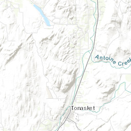
Nearest Wildfire Cameras
View All →Tonasket Ridge
WA DNR / Pano · 11.4 mi
48.705, -119.438
Omak Mountain
WA DNR / Pano · 18.2 mi
48.435, -119.491
Loomis Mountain
WA DNR / Pano · 19.1 mi
48.782, -119.565
Republic Mountain
WA DNR / Pano · 22 mi
48.647, -118.737
Click to open in WA DNR Wildfire Watch viewer (external).
Dispatch Comment
4/9: COMPLETED BURN OF 138 ACRES.
Field Updates · Operations Log
0 entries
No field updates yet. Be the first to post one.