OKANOGAN HIGHLANDSFIREWATCH
· 2m ago
Back to Live Map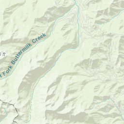
Prescribed BurnACTIVEInc# 260055· okanogan Co.
MISSION ELDERBERRY RX
Central Washington (Wenatchee) · 2mo ago
Acres
—
Fuels
—
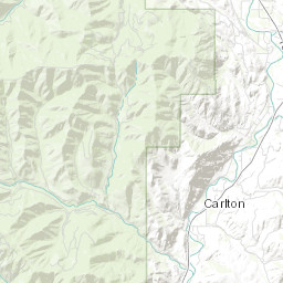
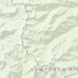
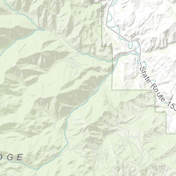
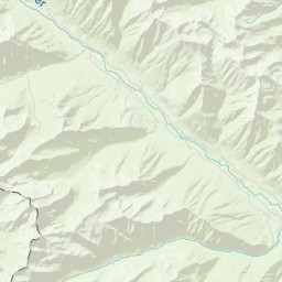
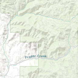
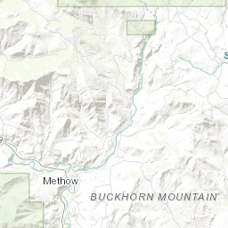
Location
T32 R21 S11
Reported
Mar 27, 2026, 16:56
Leaflet Tiles © Esri
Operational Status
ContainedPending
ControlledPending
OutPending
Incident Commander
Tim Delph
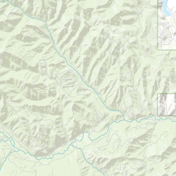
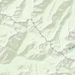
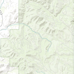
Coordinates
48.28700°, -120.17721°
Nearest Wildfire Cameras
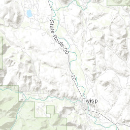
View All →Twisp River
WA DNR / Pano · 5.1 mi
48.350, -120.118
Mazama / Goat Wall
WA DNR / Pano · 23.2 mi
48.590, -120.395
Stehekin
WA DNR / Pano · 23.7 mi
48.320, -120.690
Conconully Heights
WA DNR / Pano · 27.3 mi
48.561, -119.748
Click to open in WA DNR Wildfire Watch viewer (external).
Field Updates · Operations Log
0 entries
No field updates yet. Be the first to post one.